Maps and Mapmaking
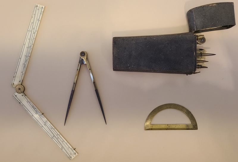
Making Maps requires mathematical and artistic skills. Map makers would have used drafting tools like these from the late 1700s to the early 1800s. The case contains a variety of compasses, rulers, and protractors used for manual technical drawing. Inside the case is a label that reads “made by J. Troughton at the orrery next to the globe tavern on Fleet Street, London.” John Troughton and his younger brother, Edward were British makers of telescopes and other astronomical instruments.
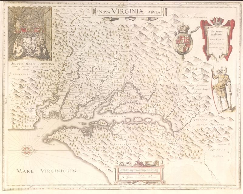
Willem Blaeu's map of Virginia, and the Chesapeake region, based on John Smith's map of Virginia published in 1612.
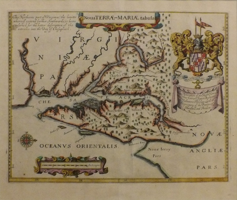
John Ogilby’s 1671 map of Maryland is oriented with north to the right, reflecting the purpose of chart design for ship captains approaching the entrance at the mouth of the Chesapeake Bay. Ogilby’s map is significant because it is the first to name the Maryland counties of Somerset, Dorchester, and Talbot as well as those on the Western Shore.


